The internet, believe it or not, exaggerates everything about the wild, deadly trail leading to the peak. But if you’re feeling adventurous, you can still have some fun.
So, you arrive in Huashan City 华山, find a hotel, drop off your luggage, and enter the reserve for a half-day or overnight stay (with or without luggage, respectively) – the general travel logistics with reserve maps are described here.
Climb the western peak—it’s at the bottom right on the map. From there, hike to the southern peak—it’s 72 meters higher. It’s at the top on the right. And at the top on the left, the dotted line shows our via ferrata: Plank Road to the Sky (长空栈道) – Chang Kong Zhan Dao

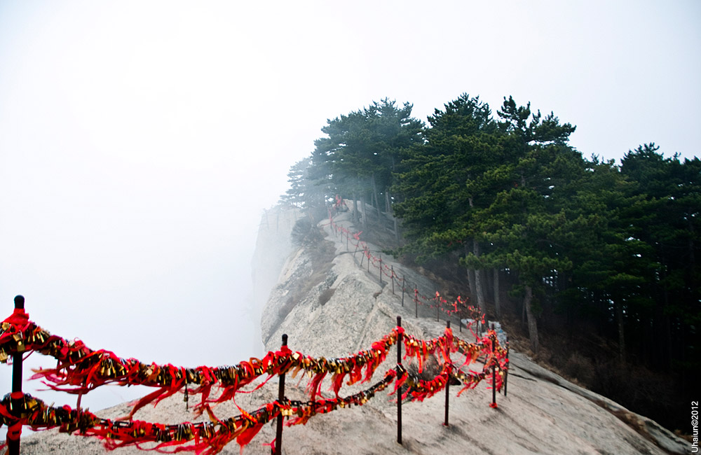
The western peak is below us as we head towards the southern one. At some point you come to a fork: the peak is to the right, the road of death is to the left.

The sign is in Chinese only.


The trail, view from above. We often go before the peak season, when there are few or no people, but I think they were doing some repairs that day and the entrance was closed—so it’s impossible to predict in advance.
That’s it, if it’s open, pay 30 yuan, fasten your belt, and go ahead, be afraid.


If you want to travel independently, but with even more detailed explanations, Chinese characters, accommodation recommendations, trains, and map points on your smartphone, download our ready-made routes.
